INDIAN REGIONAL NAVIGATION SATELLITE SYSTEM (IRNSS)
The Indian Regional Navigation Satellite System (IRNSS) provides independent position, navigation and timing (PNT) services covering the Indian landmass and surrounding region up to 1500 km. The IRNSS space segment, NavIC (Navigation with Indian Constellation), consists of a minimum of seven satellites, three in the geostationary orbit (at 34 degrees E, 83 degrees E and 131.5 degrees E) and four in the geosynchronous orbit inclined at 29 degrees to the equitorial plane with their longitude crossings at 55 degrees E and 111.5 degrees E (two in each plane). The navigation constellation can be utilized for both terrestrial services and also for space services from LEO (Low Earth Orbit) to GEO (Geostationary Orbit) and beyond for scientific and commercial programs. One additional satellite (IRNSS-1A) is available for Messaging services. Four more geosynchronous satellites are planned in the near future to extend the coverage area.
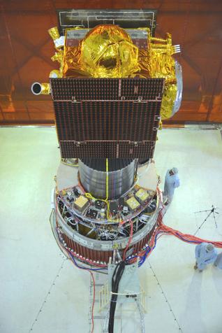
IRNSS Spacecraft:
Launch Mass: 1,425 kg; dry mass of 614 kg.
Spacecraft size: I-1K Bus (1.58 m x 1.5 m x 1.5 m)
Power: 1,660 Watts (two solar panels), 90 AH (one lithium-ion battery). Payload power requirement of 900 W.
Propulsion: 440 N (Liquid Apogee Motor) with twelve 22 N thrusters.
Navigation Payload: L5 and S band frequency, each spacecraft with three Rubidium atomic clocks.
Spacecraft design life: 10 – 12 years.
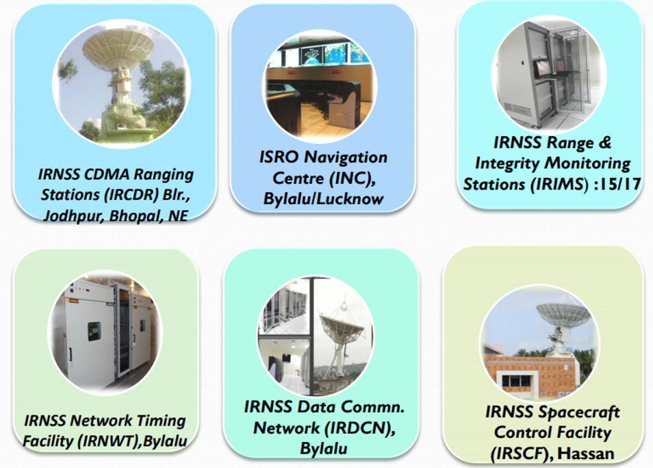
Ground Control Segment
- IRNSS Spacecraft Control Facility (IRSCF)
- IRNSS Navigation Center (INC)
- IRNSS Range and Integrity Monitoring Stations (IRIMS)
- IRNSS CDMA Ranging stations (IRCDR)
- IRNSS Network Timing Facility (IRNWT)
- IRNSS Data Communication Network (IRDCN)
- Telemetry, Tracking and Control (TTC) and Uplink stations
Applications
- Terrestrial, Aerial and Marine Navigation
- Disaster Management
- Vehicle Tracking and Fleet Management
- Visual and voice navigation for drivers
- Mapping and Geodetic data capture
- Terrestrial navigation aid for hikers and travellers
- Integration with mobile devices
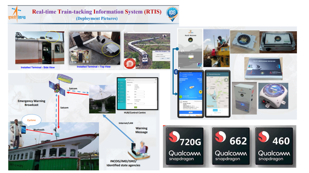
- NavCom applications for Indian Railways
- Standard Positining Services (SPS) for civilian users (accuracy of < 20 meters and < 100 nsec)
- Restricted Positioning Services (RPS) for authorized users (dual frequency accuracy of < 10 meters and < 15 nsec).